
Degree program uses satellite, drone technologies to solve environmental problems
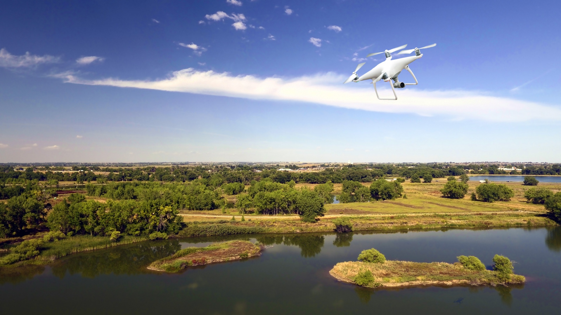
A drone flying above the Arapahoe Bend natural area in Fort Collins, Colorado. Students in a new Nelson Institute degree program will learn how to integrate and synthesize vast amounts of data from drones and other Earth-observing technologies. PublicDomainPictures.net
Satellites, drones and other technologies are fueling a surge in detailed information about the atmosphere, oceans, land and wildlife. A new University of Wisconsin–Madison professional master’s degree will train students to put this wealth of data to work solving the world’s most pressing environmental problems.
Environmental Observation and Informatics (EOI), an option within the Nelson Institute’s Environmental Conservation M.S. program, will integrate cross-cutting Earth observation technologies and “big data” analytics with professional leadership. The 15-month program combines hands-on, in-person training with distance learning.

Annemarie Schneider
“Individuals and organizations now have access to unprecedented amounts of data and world-class geospatial tools and cloud computing resources,” says Annemarie Schneider, an associate professor of environmental studies and EOI chair. “At the same time, some of the most pressing environmental and sustainability challenges remain unsolved and unanswered. We need to train a new group of professionals with the skills to tie all this together.”
Schneider says graduates of the EOI program will know how to synthesize big data in creative ways, bring together the right information with the right questions to solve problems, and communicate their outcomes to decision-makers.
The program will focus on three major components: remote sensing and integrated technology; modeling and analysis; and innovative leadership and strategic thinking.
Schneider sees a rapidly expanding market for these skills across a broad range of environmental challenges, citing examples like monitoring sea ice as the climate changes; conducting wildlife surveys and tracking poachers; mapping floodwaters; monitoring environmental conditions for public health; and many other applications.
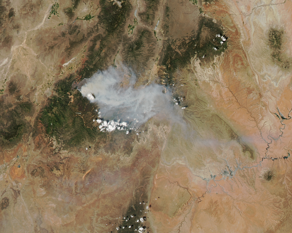
A NASA satellite collected this image of wildfires in Utah with a sophisticated imaging instrument. NASA image by Jeff Schmaltz
Janet Silbernagel, the Nelson Institute director of professional programs, says EOI students will learn how to integrate and synthesize Earth-observing technologies, interpret vast amounts of data, and gain leadership skills to help organizations and agencies respond to environmental change at local, regional and global scales.
“With the explosion of new technologies in Earth observation and big data, our goal is less to teach students every technology, but rather to build student capacity to identify and integrate these different technologies toward solutions for the environmental challenges we face today,” says Silbernagel.
Janet Silbernagel
The program is designed for early- to mid-career professionals from around the world who aspire to become project or program managers, senior analysts, or hold positions of similar rank, and it aims to get them back on the job as quickly as possible after completion of the degree.
Applications to the program are now being accepted. Learn more.
-
Interwoven
How Indigenous knowledge and science can work together to communicate about climate.
-
UW–Madison’s reach throughout Wisconsin adds up to $38.9 billion a year
The university supports more than 287,000 jobs and helps drive private-sector growth.
-
‘Being part of something bigger than you’ with Badger Volunteers
UW–Madison students head into the local community to find purpose and make a difference.
-
UW–Madison’s Tech Exploration Lab: Where the classroom meets the real world
The lab is built around a simple expectation: Students come to build, test and refine projects with real problems in mind.


