Snapshot Wisconsin: Trail cams to document state’s wildlife
With the help of between 4,000 and 5,000 strategically deployed trail cameras, a suite of remote sensing satellites and a global crowd-sourced database, Wisconsin’s wildlife will soon have its prime time moment.
May 17 marks the official start of Snapshot Wisconsin, an unprecedented effort to capture in space and time the deer, bears, elk, coyotes, bobcats, badgers and any other wild animal that lumbers, hops, lopes or slithers across the Badger state. A collaboration of the Wisconsin Department of Natural Resources (DNR), NASA and the University of Wisconsin–Madison, Snapshot Wisconsin aims to provide one of the richest and most comprehensive caches of wildlife data for any spot on our planet.
“Something like this has never been done before, not for such a large area,” notes UW–Madison Professor of Forest and Wildlife Ecology Phil Townsend, one of the leaders of the project. “The number of trail cams and the spatial scale we’re working on will make this project unique.”
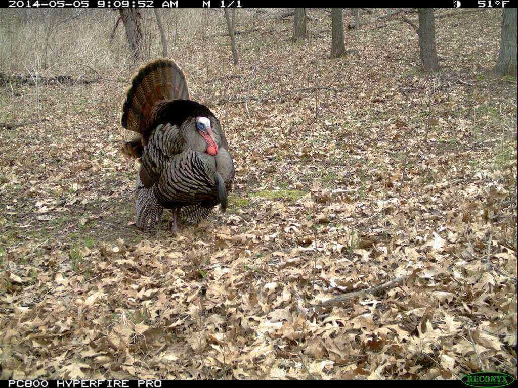
A tom turkey struts for the ladies. Snapshot Wisconsin
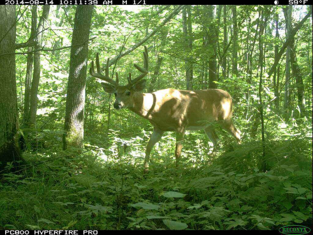
A buck treads cautiously in thick woods. Snapshot Wisconsin
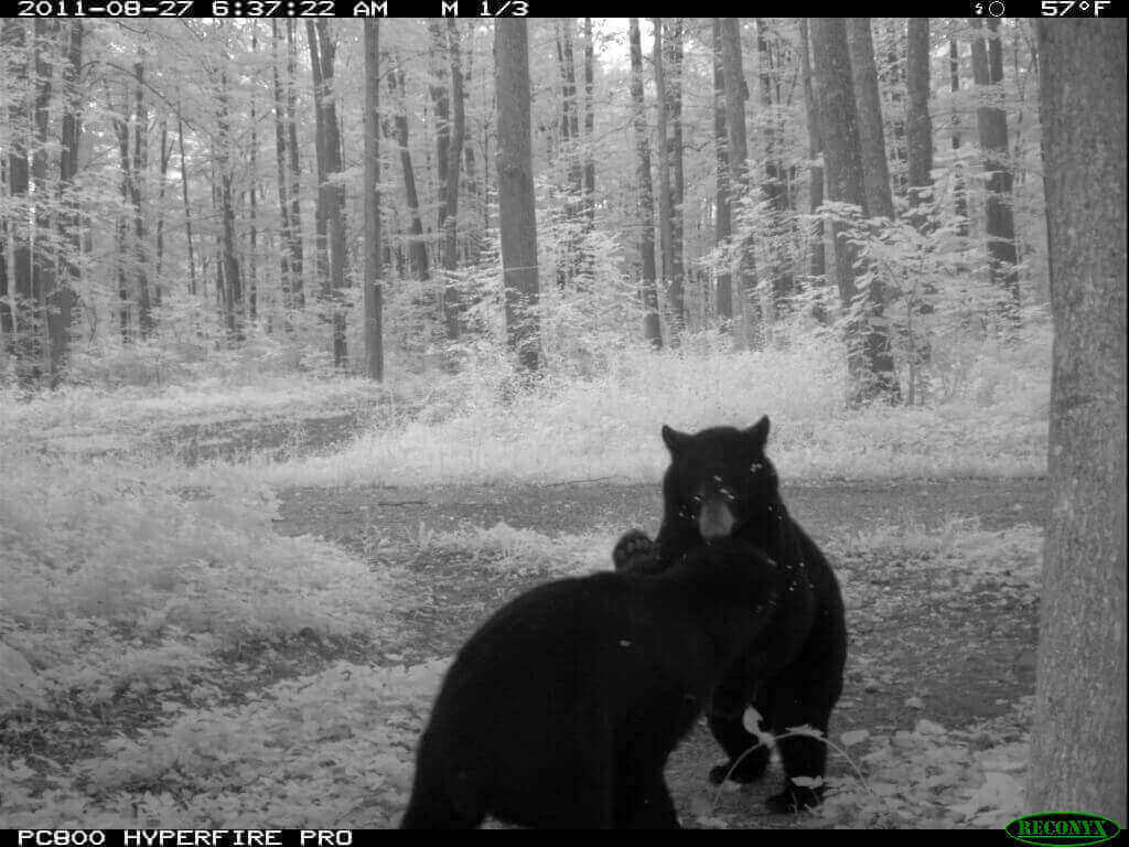
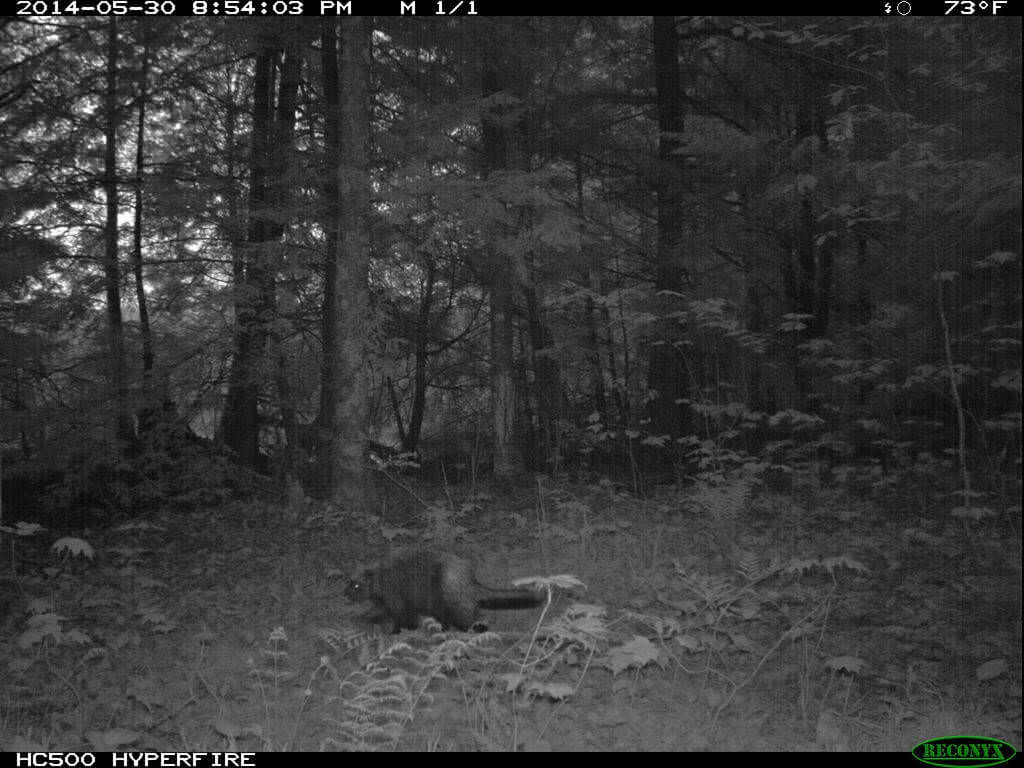
A jockeying bear pair. Snapshot Wisconsin
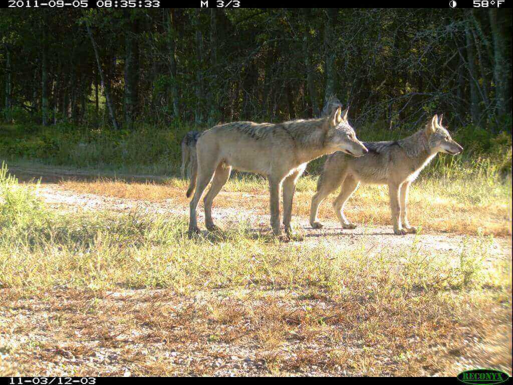
Something has a pair of wolves’ attention. Snapshot Wisconsin
So far, 500 cameras have been deployed, mostly in Iowa and Sawyer counties, the first two counties in the state to take part in the initiative. Several hundred more will be deployed in the coming months and more will be added over time as other Wisconsin counties become part of the project.
“What Snapshot Wisconsin really adds is a consistent way to monitor all species,” says Jennifer Stenglein, the DNR project leader. “The consistent monitoring will allow for comparisons among wildlife populations and enable us to better track population changes at larger spatial and temporal scales.”
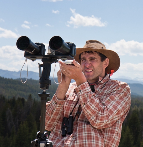
Phil Townsend Courtesy of UW Foundation
In particular, the DNR plans to use Snapshot Wisconsin data to help inform county deer advisory councils on deer and their predators. It will supplement existing programs that now monitor and estimate population sizes for different species. If successful, the project might reduce the need for other more expensive types of wildlife monitoring. For example, the DNR now measures wildlife species like coyotes and deer using airplanes over parts of the state.
From a scientific perspective, says Townsend, the project will give researchers the ability to model Wisconsin’s wildlife populations in ways previously unimagined. “This will be dynamic,” Townsend says. “We’ll see how things change from one season to the next.”
The Snapshot Wisconsin initiative, which is being funded largely by the Wisconsin DNR and NASA, promises a far more comprehensive survey of Wisconsin wildlife than currently exists. Deer and predator surveys, for example, now tend to be limited to a few locales. Snapshot Wisconsin, explains Townsend, changes the game completely as trail cams with GPS locations will be deployed by volunteers statewide.
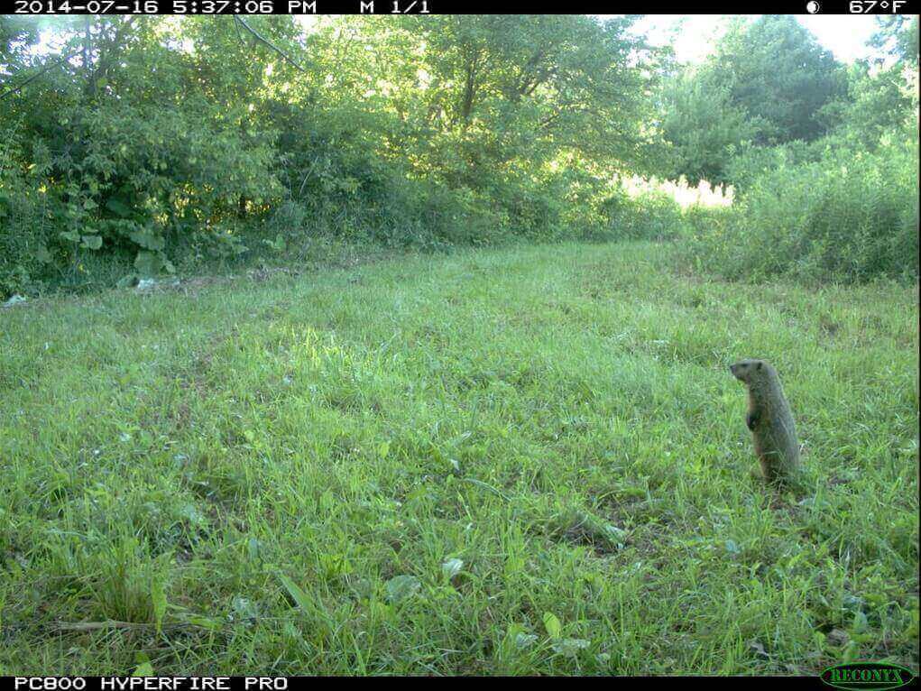
A groundhog scours the landscape. Snapshot Wisconsin
A porcupine among the pines.
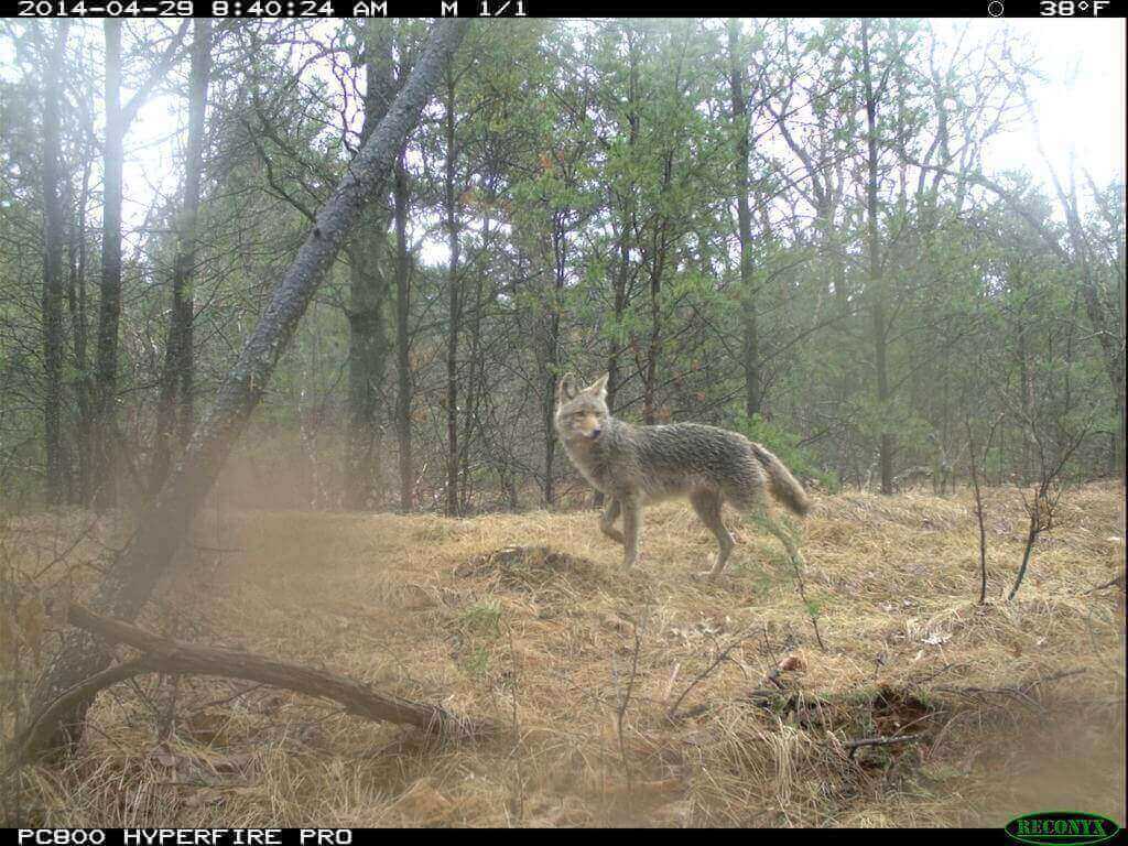
An alert coyote surveys its surroundings. Snapshot Wisconsin
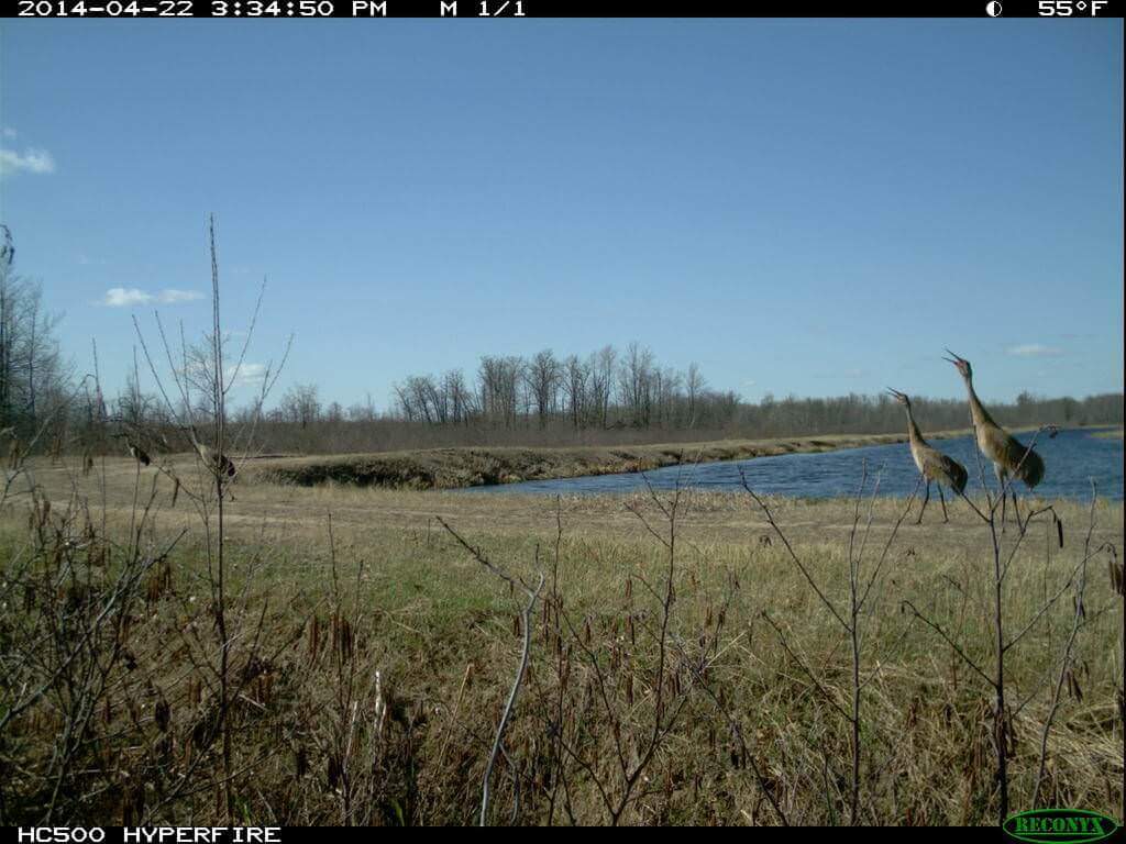
Sandhill cranes at the end of the day. Snapshot Wisconsin
The images captured by the thousands of trail cams will be reconciled with images and data from NASA’s Terra, Aqua and Landsat satellites. The GPS locations from the trail cams will let researchers sync data from any particular trail cam with satellite images of the landscape. The satellite perspective, according to Townsend, gives researchers the ability to fuse camera data with remotely-sensed data on ecosystems, habitat and land use types, such as agricultural and urban development.
The DNR is recruiting volunteer citizen scientists who are trained by UW-Extension to operate and maintain the motion-activated camera traps. Stenglein says the agency plans to roll out the program gradually, county by county, to improve the process for volunteers and assess the program’s effectiveness.
The satellite data, says Townsend, may also be used to match changing snow cover, spring “green up,” or fall’s colors with shifts in the patterns of wildlife presence and density. For instance, bears tend to head into hibernation as the landscape browns in fall and seasonal changes on the landscape can also provide insight into deer births, phenomena that Snapshot Wisconsin can help document.
In a sense, Snapshot Wisconsin is a technological extension and significant amplification of the kind of phenology famously practiced by fabled Wisconsin conservationist Aldo Leopold, who over the years faithfully recorded in a notebook the dates birds, animals and plants appeared on or disappeared from the landscape at his shack on the Wisconsin River.
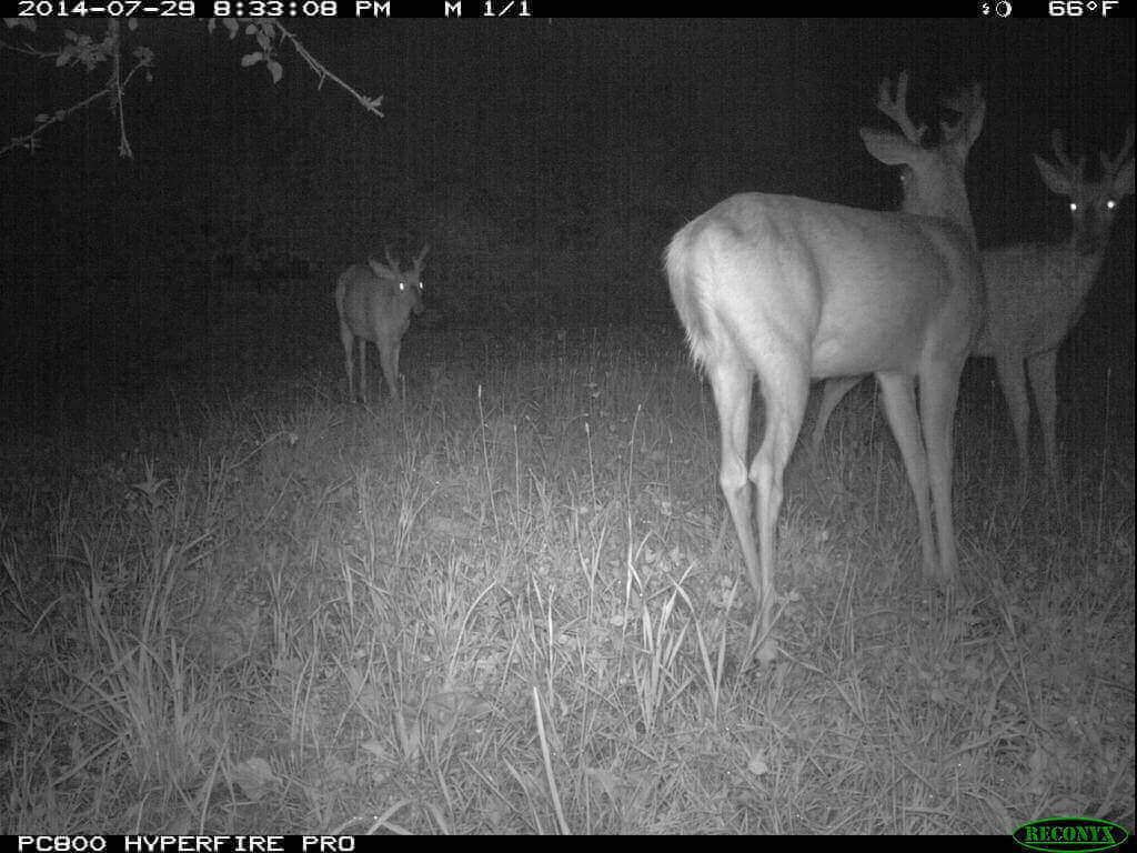
Deer in the night light. Snapshot Wisconsin
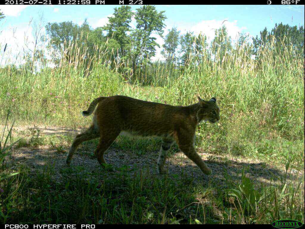
A bobcat finds a bit of shade. Snapshot Wisconsin
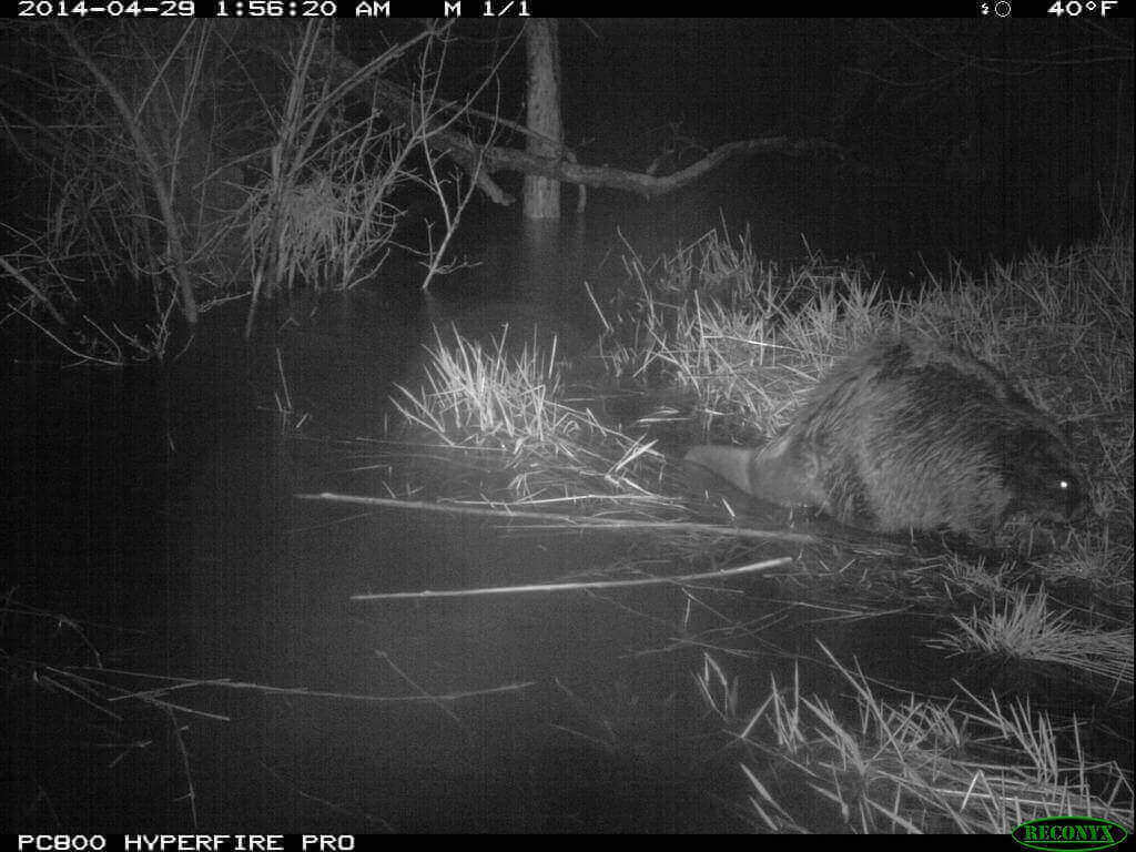
A beaver emerges from the water. Snapshot Wisconsin
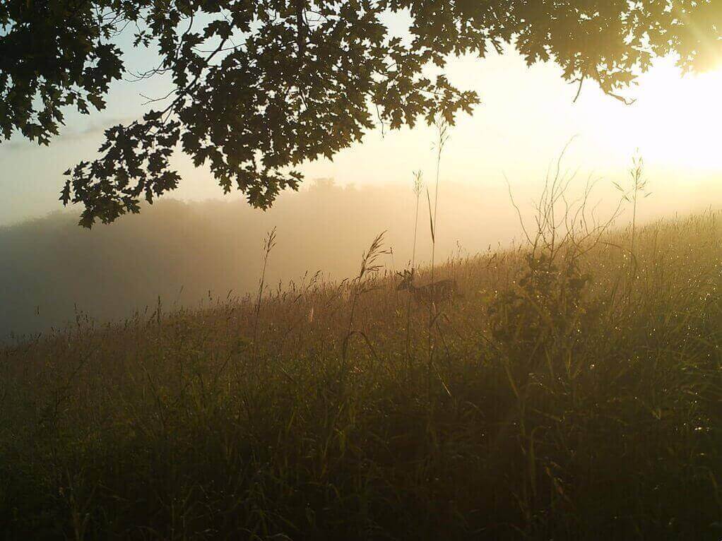
A whitetail buck on a misty hillside. Snapshot Wisconsin
“Animals will track the seasons. The greening of the landscape in spring is called the ‘green wave,’ and animal activity will actually track the greening vegetation,” Townsend explains. “Remote sensing using satellites shows what the pattern looks like everywhere.”
A critical research goal is uncovering trends and changes from all of the Snapshot Wisconsin data. The study should, for instance, be able to document over time changes in the extent and duration of snow cover, an index of climate, and how wildlife respond to those changes.
The trail cams will produce millions of photos a year and the Snapshot Wisconsin team is depending on volunteer ‘citizen scientists’ to help crowd source analysis of the pictures by making them available through a portal on Zooniverse, a Web platform for citizen science projects around the world. Developers at Chicago’s Adler Planetarium have been working with UW–Madison ecologist Benjamin Zuckerberg to develop the Snapshot Wisconsin page and protocols for users from around the world to identify animals present in a picture. A soft rollout of data saw 35,000 images classified by volunteers in less than a week.
Anyone interested in hosting a camera on their property can get more information on the Snapshot Wisconsin online signup site.
Subscribe to Wisconsin Ideas
Want more stories of the Wisconsin Idea in action? Sign-up for our monthly e-newsletter highlighting how Badgers are taking their education and research beyond the boundaries of the classroom to improve lives.