Nearby forest loss predicts future deforestation on protected lands

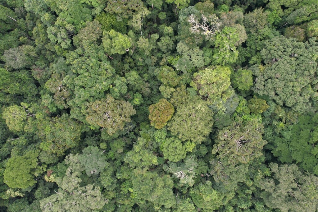
Intact tropical forest in the Congo Basin surrounding a protected area. Pictures by Zuzana Buřivalová
Protected forests are unlikely to be cut down when they are surrounded by intact forests. Conversely, the more degraded the boundaries of a protected area are, the more likely that deforestation will encroach into the protected forest as well.
These findings come from a new analysis of protected forests worldwide. The results have the potential to help national governments and other agencies direct limited resources toward those areas at greatest risk of deforestation, which threatens biodiversity and releases large amounts of carbon dioxide into the atmosphere.
“We wanted to find out what happens to the forests in protected areas when there is less and less forest around them — when their buffer zone starts getting less dense and more like a mosaic of forest and fields,” says Zuzana Buřivalová, lead author of the new study and a professor of forest and wildlife ecology at the University of Wisconsin–Madison. “Based on the percentage of forest cover around a national park, we can now predict and say: ‘Okay you should be careful right now’ or ‘You don’t have to worry just yet.’”
With other researchers at UW–Madison, Colorado State University and the Indian Institute of Science, Buřivalová published her findings Aug. 18 in the journal Current Biology.

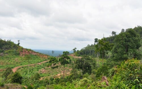
Edge of lowland tropical forest with oil palm plantation encroaching, in East Kalimantan, Borneo, Indonesia. When the area surrounding a protected forest starts to be cut down, the protected area is more likely to face deforestation in the future. Pictures by Zuzana Buřivalová
By using satellite imagery of every protected forest around the world — largely made up of national parks and forests — Buřivalová’s team analyzed the trends of forest loss both within those protected areas and in the territory extending 5 kilometers from the boundary. The researchers studied forest loss from 2000 to 2018 and made predictions for the next 18 years, to 2036.
They discovered that when more than 90% of the boundary zone remains forested, the protected area is likely to experience little or no deforestation. When the adjacent territory drops to about 20% forest cover, the protected area starts to lose forest cover at equal rates to the nearby region —as if it is no longer protected.
Although satellite imagery analysis alone cannot determine why nearby deforestation threatens protected forests, the researchers suspect that multiple factors contribute. Adjacent farms may run out of land and start expanding into the protected area, or new roads may make access to the national park easier, for example. In both scenarios, the nearby region would experience forest loss first.
The researchers have published detailed results and the code used to analyze the images so that government agencies charged with protecting the lands can make better predictions.
“They are the ones who have to decide how many resources — rangers, firefighters, money — to dedicate to each national park. I think with our results, national agencies can see easily which national park is most at risk,” says Buřivalová, who began studying protected forests while working in Madagascar.
Based on current trends, the scientists predict that two-thirds of protected areas will experience little forest loss through 2036. However, any acceleration in average forest loss would greatly increase the number of protected forests at risk.
The protected forests in poorer tropical countries are often at risk from local residents who clear trees to support subsistence farming or important cash crops. This can easily lead to scapegoating of residents who worked nearby land before any protections were established and who are responding to incentives to make a living. That scapegoating is counterproductive, says Buřivalová.
“I think it’s important for any agency to be mindful that they are the ones in a position of power and they may be pushing out local people where that protection is being established,” she says. “Agencies should always keep this in mind when assessing risks and figuring out how to mitigate them so they are working with the people rather than against them.”

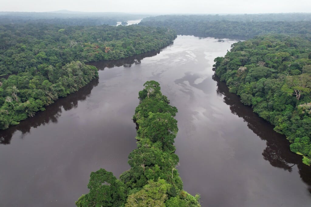
Intact tropical forest in a National Park in the Congo Basin. Pictures by Zuzana Buřivalová


