Above it all
See how many buildings you recognize in this gallery by University Communications photographer Bryce Richter, who captured stunning aerial views of Madison and the UW–Madison campus from a helicopter on Oct. 23, 2018.
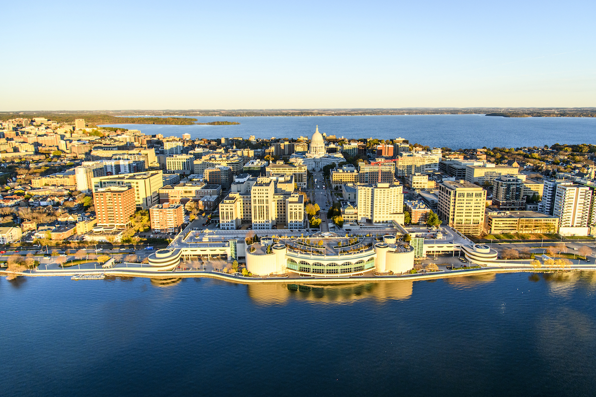
Madison’s isthmus, looking up Martin Luther King Jr. Boulevard from Monona Terrace to the Capitol. Photo: Bryce Richter
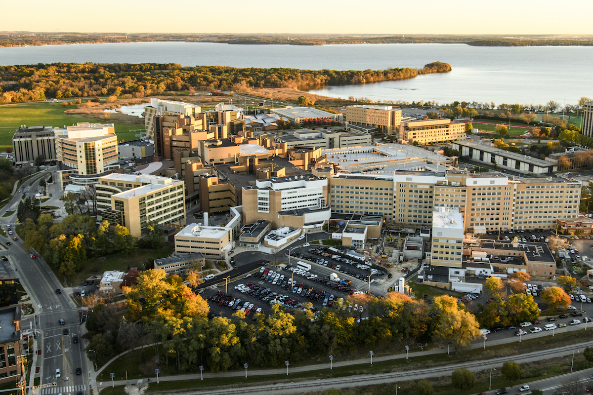
UW Hospital and Clinics (center) and the William S. Middleton Memorial Veterans Hospital (right). Photo: Bryce Richter
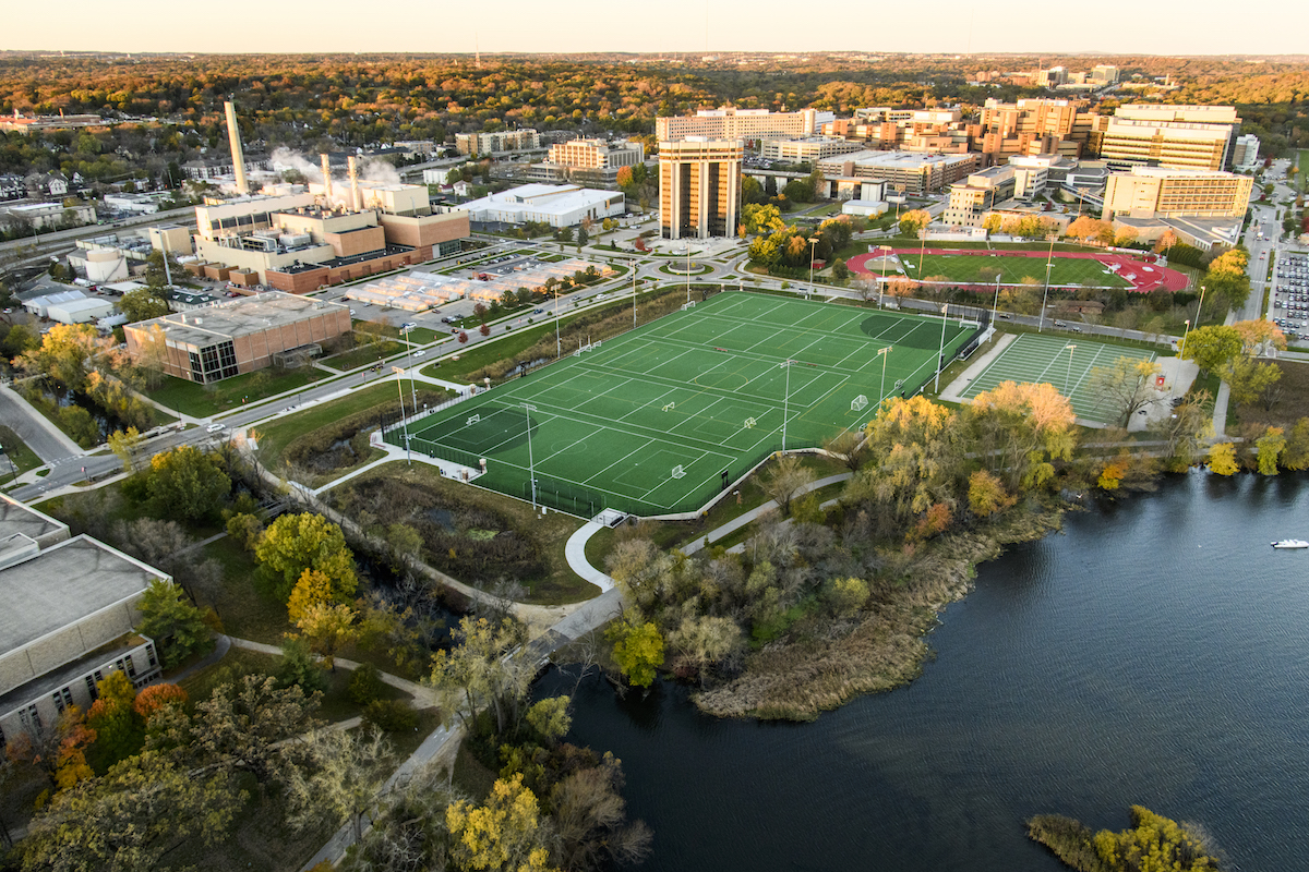
The Near West Playing Fields (center), with the towering Wisconsin Alumni Research Foundation (WARF) building behind them. Photo: Bryce Richter
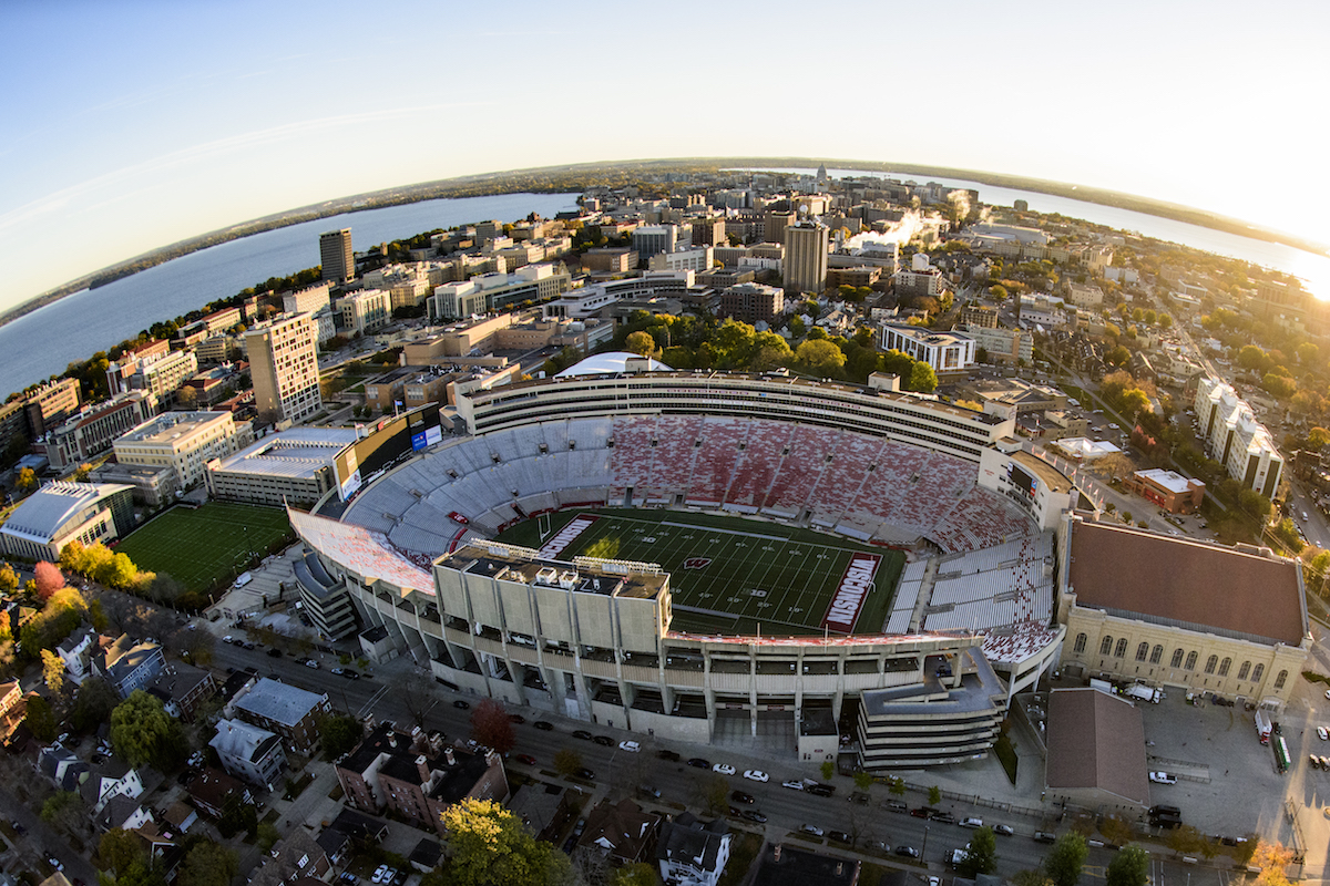
Camp Randall Stadium, photographed with a fisheye lens, with Lake Mendota (upper left) and Lake Monona (upper right) flanking the downtown Madison isthmus. Photo: Bryce Richter
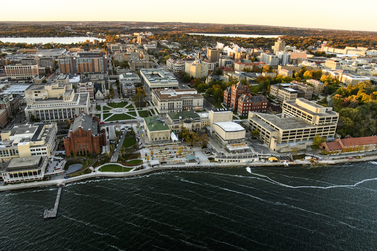
Foreground, left to right: One Alumni Place, the Red Gym, Alumni Park, the Memorial Union and Helen C. White Hall line the Lake Mendota shore. Photo: Bryce Richter
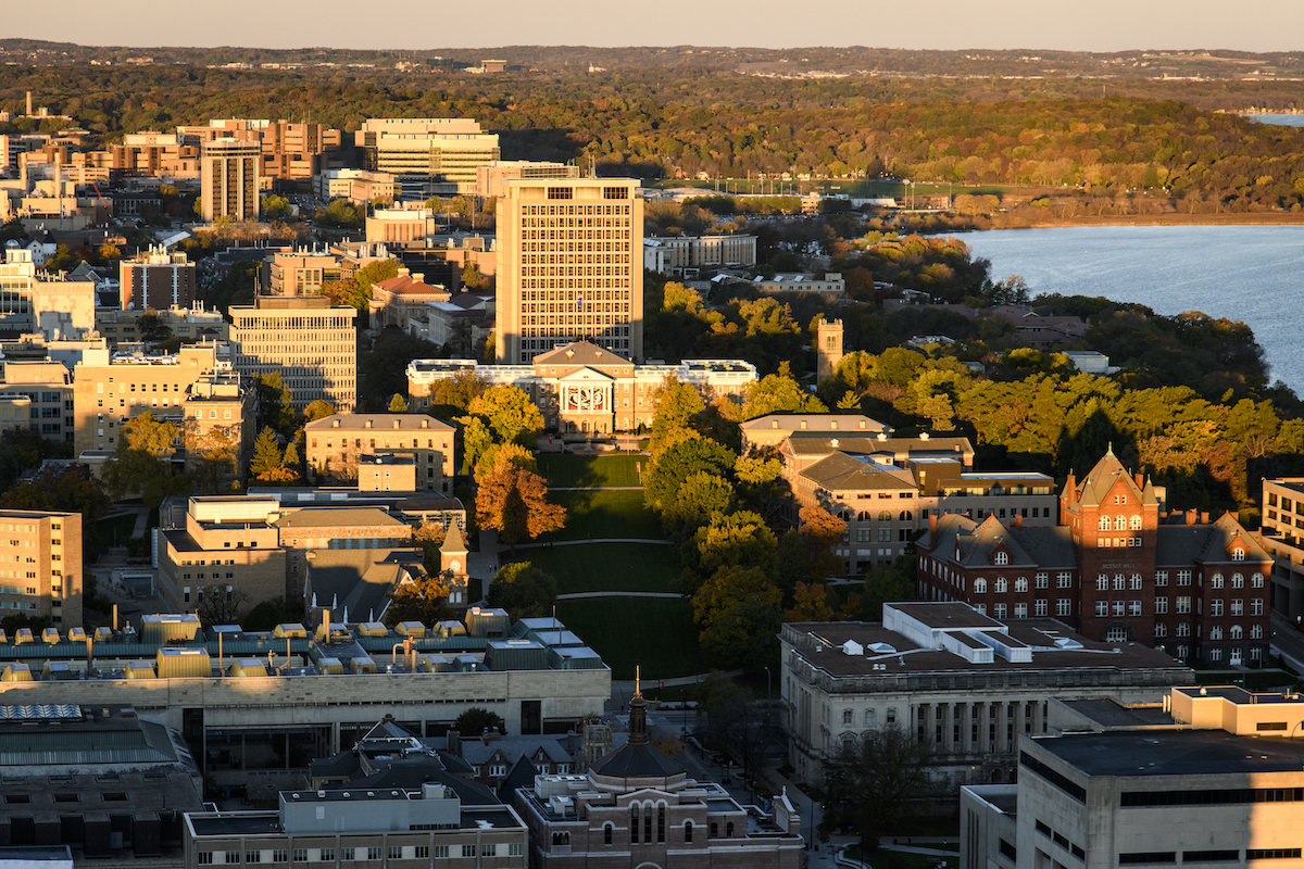
Bascom Hall (center) with Van Hise Hall rising behind it. Lake Mendota is at right. Photo: Bryce Richter
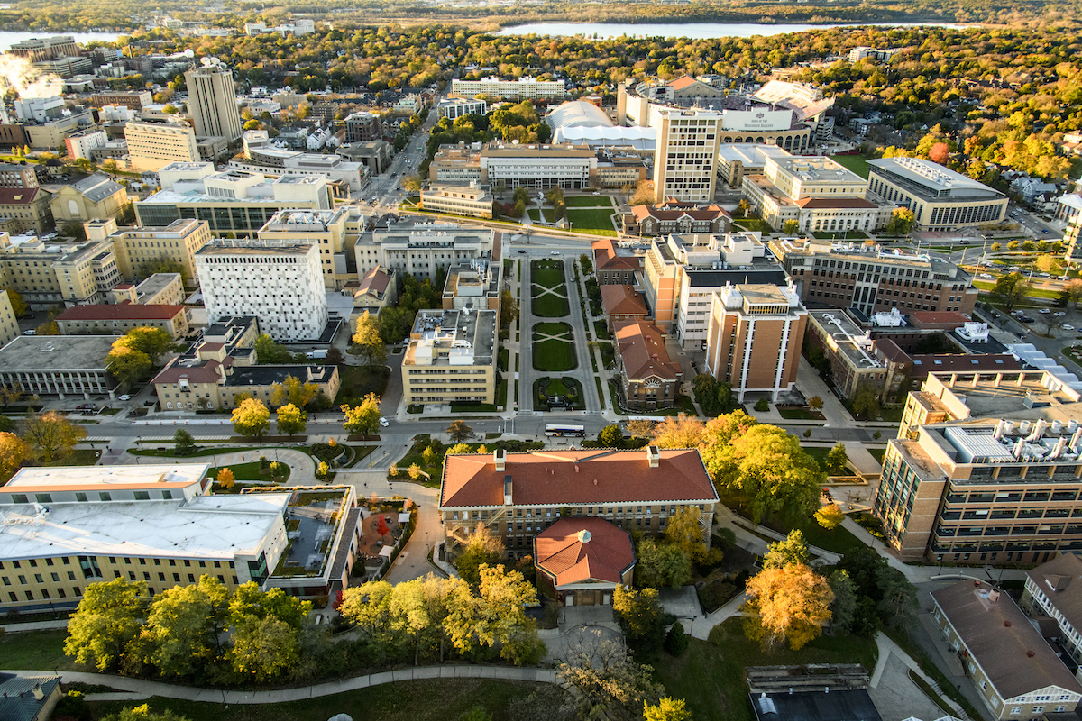
Looking down Henry Mall from Agricultural Hall (bottom) to Engineering Hall. Photo: Bryce Richter
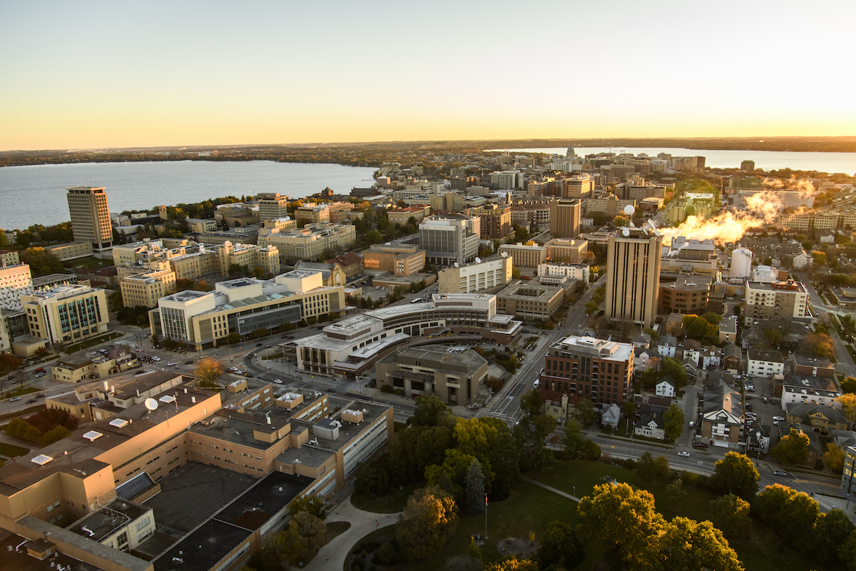
Union South is at the center of this view from campus to the isthmus and beyond. Photo: Bryce Richter
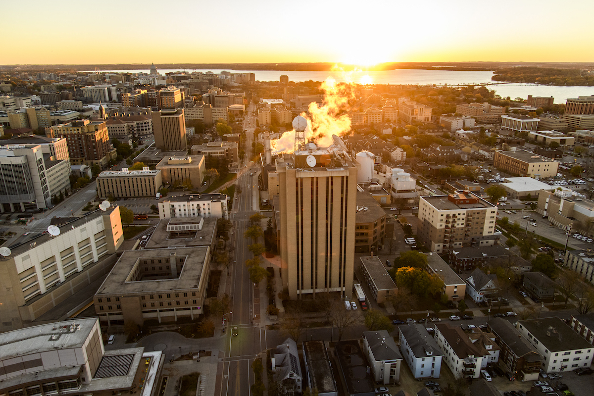
The Atmospheric, Oceanic and Space Sciences Building dominates its surroundings, looking east. Photo: Bryce Richter
-
UW–Madison’s METAL bootcamp inspires interest in metalworking for fun — and a stronger national future
The four-day training sessions introduce participants to metalworking through online and in-person training.
-
Meet UW–Madison’s Nobel Prize winners
Francis Halzen, winner of the 2026 Nobel Prize in physics, joins a community of Badgers who’ve changed the world.
-
The Wisconsin Idea volunteers for the Peace Corps
UW–Madison has been named the top volunteer-producing university since 2017.
-
UW rises to 8th among publics, 34th overall, in U.S. News rankings
“Best Value Schools” ranking also jumps 23 spots, placing UW–Madison 24th in the nation.